Data Acquisition

The validation of theory to the real time physics / behaviour of the problem needs “quality and authentic input data”. Geo Marine believed and recognized the significance of such need for delivering safe, optimal and reliable engineering solutions.
For effective operation of single point responsibility, the business model embraced“ the state of the art real time data acquisition infrastructure” capable to meet the challenges and needs of engineering projects on land and offshore.
The spectrum of capabilities range from engineering survey to capturing of ocean climate, sub surface modelling (geology, geotechnical, dynamic and seismic characterization), application of one dimensional wave data acquisition for “Non destructive testing of super and sub structures.

Engineering survey

Geotechnical survey

Environmental Geotechnical survey

Geophysical survey

Non-destructive testing

Laboratory Investigation
Engineering survey
on land
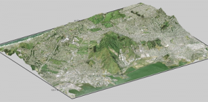
- Mapping of land profiles and features
(Contour & Topography) - Railway & Highway survey
- Pipe line route survey
- Irrigation channels
- Setting out of Structures
- Earthwork quantity estimation
Offshore
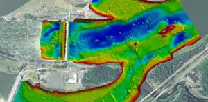
- Hydrographic survey
- Ocean climate data collection
(currents, waves, tides, temperature & bed sampling)
Geotechnical survey
Sub Surface Characterization by :
- Direct bore hole investigation (with SPT & Vane)
- Dynamic Cone Penetration Testing
- CPTU with electric piezocone (for strength & pore pressure)
- Pressure meter
- Block vibration testing (for dynamic shear parameters)
- Water well logging
- Field CBR (for pavement design)

Environmental Geotechnical survey

- Soil & Ground water sampling using dry bore technique
- Mapping of cavities by cone penetration technique
- Preparation of Sample for X-Ray Diffraction (XRD) & Scanning Electron Microscopy (SEM) studies
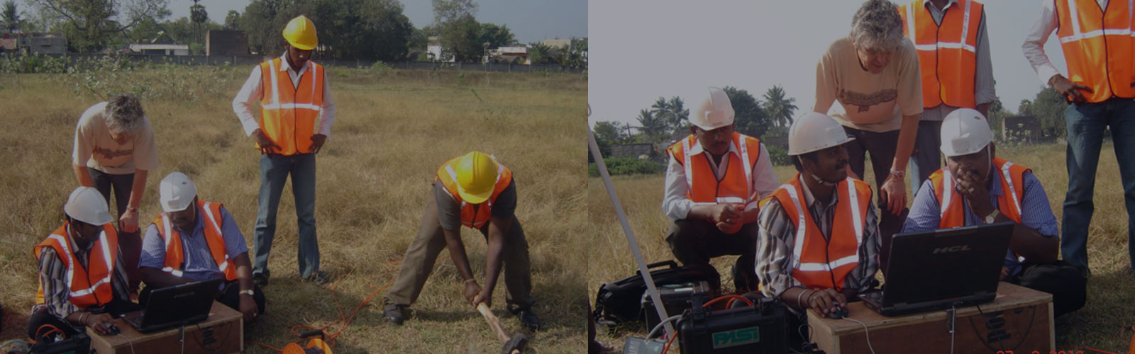
Geophysical survey
Global characterization of subsurface & Estimation of dynamic shear parameters by:
Non-destructive testing
For Sub Structures
- Low strain integrity testing on piles.
- High strain dynamic load test on piles.
- Cross hole sonic logging for piles & diaphragm walls
For Super Structures
- Ultrasonic pules velocity for concrete integrity
- Half cell potential steel corrosion measurement
- Rebound hammer
- Concrete core cutting
Laboratory Investigation
Geotechnical characterization of subsurface by:
- Direct Bore Hole investigation (with UDS, SPT & Vane)
- Geochemistry & Chemical analysis of liquids
- Rock mechanics & Petrographic study
- Concrete mix design & strength estimation
